About Yucca
Yucca is an unincorporated rural community south of Kingman along Interstate 40.
History
Yucca was founded in 1883 and began in the 1880s as an order office and water-fill station for the Atlantic and Pacific Railroad.
During World War II, the U.S. Army Air Forces developed Yucca Army Airfield to train pilots.
Route 66 was rerouted through the Yucca area in 1952. Interstate 40 replaced the Route 66 section through Yucca in the early 1970s.
Sources: en.wikipedia.org · legendsofamerica.com
Timeline
- 1880s
Yucca begins as a railroad water stop. en.wikipedia.org
- 1918
The community cemetery is established. en.wikipedia.org
- 1940s
Yucca Army Airfield operates during World War II. en.wikipedia.org
- 1952
Route 66 is realigned through Yucca, until Interstate 40 bypasses it in the 1970s. en.wikipedia.org
- 1954
Ford opens its Arizona Proving Ground near Yucca. Chrysler buys it in 2007 for $34.9 million. en.wikipedia.org
Stories & local lore
Some of these are local legends: stories handed down or reported as rumor. They are labeled, so enjoy them as lore rather than settled fact.
A secret car-testing ground
For decades, new cars were tested on Yucca's desert proving ground, first by Ford and later by Chrysler.
en.wikipedia.orgThe lost stagecoach gold
In 1880, south of Beale Springs, "Hualapai" Joe Desredo is said to have robbed a stage driven by Johnny "Jumpup" Upshaw. Supposedly the strongbox took six men to lift, so the robbers buried it, and the stage vanished. Cattleman Asa Harris guessed it held up to $200,000 in gold. Nobody has found it.
arizonahighways.comThings to do
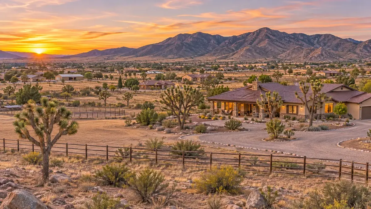
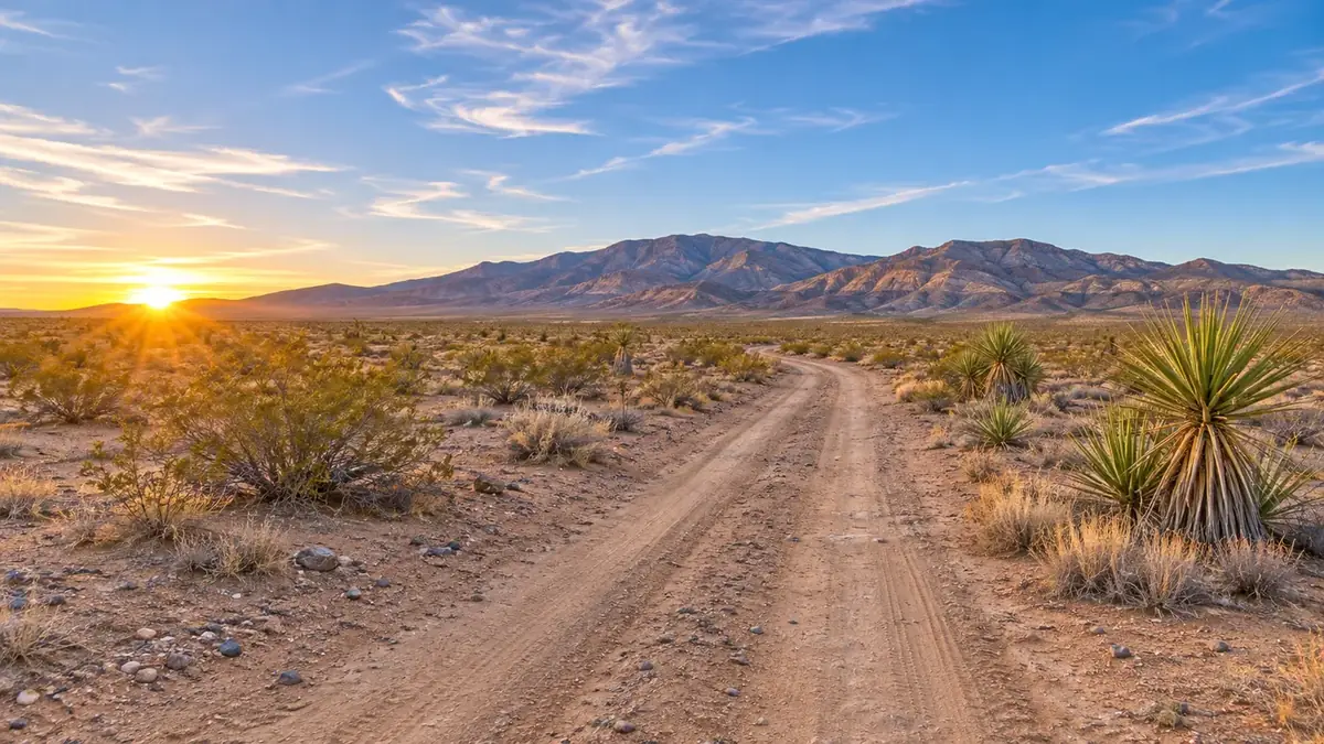
Yucca is an unincorporated community along Interstate 40 in a desert landscape.
Yucca’s former Route 66 businesses closed after Interstate 40 replaced the highway section through the area.
Sources: arizonan.com · legendsofamerica.com
Hiking & trails
Wabayuma Peak Trail
About 2.5 miles one way in the 40,000-acre Wabayuma Peak Wilderness, in the southern Hualapai Mountains near Yucca.
edit.blm.govHualapai Mountain Park
Roughly 10 miles of trails, many first built by the Civilian Conservation Corps starting in 1936, climbing through pine forest to about 8,000 feet.
parks.mohave.govCrossman Peak
At 5,103 feet, the highest point in the Lake Havasu area, with views over the Colorado River valley.
golakehavasu.comLakes & rivers
Lake Havasu
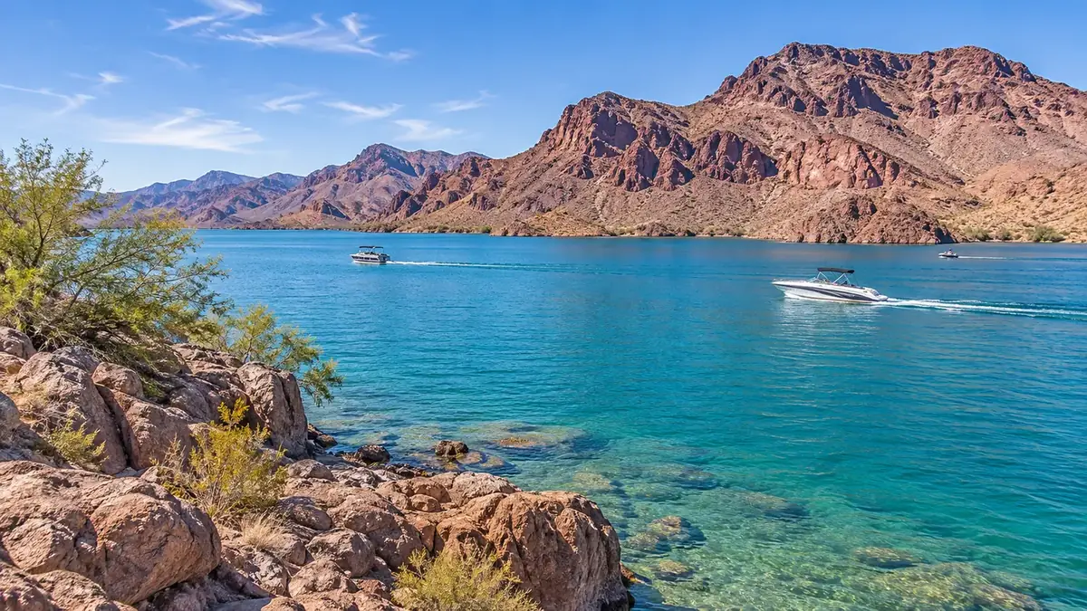
South on I-40 and AZ 95, the lake has 400 miles of shoreline and 28 replica lighthouses.
golakehavasu.comDay trips
London Bridge
See the relocated bridge and the Bridgewater Channel in Lake Havasu City.
golakehavasu.comOatman
About 28 miles and 45 minutes on old Route 66 over Sitgreaves Pass: wild burros, gunfight shows and a gold-rush town.
explorekingman.comHackberry General Store
A 1934 Route 66 store about 30 miles east of Kingman, revived in 1992 by Route 66 artist Bob Waldmire.
chicagotribune.comHoover Dam
About 75 miles northwest of Kingman. Tour the dam and walk the bypass bridge for the view.
explorekingman.comParks, recreation & landmarks
Wabayuma Peak Trail
A BLM-managed trail near Yucca leads toward Wabayuma Peak. A high-clearance four-wheel-drive vehicle is strongly recommended; the road may become impassable after snowfall or prolonged rain.
recreation.govWabayuma Peak Wilderness
The trail’s first two miles follow an old jeep road into the wilderness; reaching the summit from the trail’s end requires cross-country travel.
recreation.govHistoric Route 66 roadside sights
The Yucca area has roadside remnants including faded signs and ruins of former cafes, motels, and service stations.
explorekingman.comBoriana Mine
The former mine site in the Wabayuma Wilderness includes a mill site, concrete foundations, and tailings piles.
explorekingman.comDesert trails and back roads can be remote and very hot. Carry plenty of water, check conditions and road requirements with the land manager before you go, and respect private property and cultural sites.
Upcoming events
Open the full community calendar
Official calendars
Everyday living
Shopping & dining
A local general store is described as carrying basic necessities. Larger shopping is available in Kingman.
Sources: arizonan.com
Healthcare
To be written by Eagle RealtyAdd hospitals and clinics serving Yucca.
Places of worship
See our separate places of worship directory for churches and other congregations in Yucca.
Schools & education
Yucca Elementary School
A public school serving prekindergarten through grade 8. Address: 12261 3rd St, Yucca, AZ 86438. Phone: (928) 766-2581.
nces.ed.govYucca Elementary District
The open local school district has one school and serves grades PK–8. Mailing address: PO Box 128, Yucca, AZ 86438–0128. Phone: (928) 766-2581.
nces.ed.govSchool boundaries and programs change. Confirm the assigned school for a specific address with the school district.
Utilities & local services
Utilities
| Service | Provider | Notes |
|---|---|---|
| Electric | UniSource Energy Services | UniSource provides electric utility service in Mohave County. Confirm service for the specific address. search.211arizona.org |
| Water | Yucca Water Association, Inc. | The Arizona Corporation Commission document identifies the association as a water utility and gives a Yucca mailing address. It does not specify the service boundary. azcc.gov |
| Propane | John Graves Propane | Local propane delivery, tank rentals and service from its Golden Valley office at 7090 Hwy 68. Phone 928‑565‑2821. Lists Yucca in its Mohave County delivery area. johngravespropane.com |
| Propane | A&B Propane | Bulk tank and cylinder delivery from its Lake Havasu City office at 2001 Centers Ave. Phone 928‑854‑4099. Lists Yucca on its delivery schedule. abpropaneaz.com |
| Propane | Parker Energy | Residential and commercial propane delivery, tank installation and rentals. Lake Havasu City office at 785 Kiowa Ave. Phone 928‑302‑3607. Lists Yucca among the areas it serves. parkerenergyllc.com |
| Internet – fiber | Wecom Fiber | Wecom Fiber lists Yucca in its fiber build area. Phone 928‑753‑3829. Check the exact address. wecomfiber.com |
| Internet – DSL | Frontier | Frontier lists internet service in Yucca, with Frontier Fiber only in select areas. Check the exact address. frontier.com |
| Internet – wireless | XNET WiFi; WireFree Communications; T-Mobile; Verizon | Fixed wireless and 5G home internet are reported in parts of Yucca. Check the exact address. broadbandnow.com |
| Internet – satellite | Starlink; Viasat; Hughesnet | Satellite internet is listed as available across Yucca, a common choice for rural parcels without wired service. broadbandnow.com |
| Check any address | FCC National Broadband Map | Enter a property address to see every provider and speed reported for that location. broadbandmap.fcc.gov |
Utility providers can vary by address, and many rural parcels rely on private wells, hauled water, septic systems or propane. Always confirm service with the provider for the specific property.
Government & public safety
| Office | Details | Phone |
|---|---|---|
| Yucca Fire Department | Mohave County lists the department at PO Box 327, Yucca, AZ 86438. The county fire-station data table lists a Yucca Fire District station at 12349 S Frontage Rd, Yucca. mohave.gov | 928-766-2300 |
| Mohave County Sheriff's Office | The county lists its main office at 600 W Beale St, Kingman. mohave.gov | 928-753-0753 |
For emergencies, call 911.
Real estate
For current listings, recent sales and pricing in Yucca, search the MLS below or ask an Eagle Realty agent who works the area.
Search homes for sale near YuccaNew homes built 2026Land & acreage
Helpful links
- Yucca Fire District
- Yucca Elementary School
- Mohave County fire-station data
- Wabayuma Peak Trail information
- Mohave County (official site)
- Arizona Department of Education
- AZ 511 — Arizona road conditions
Community information on this page was compiled from the public sources linked in each section (reviewed November 2026). Details change; please confirm with the source.