About Fort Mohave
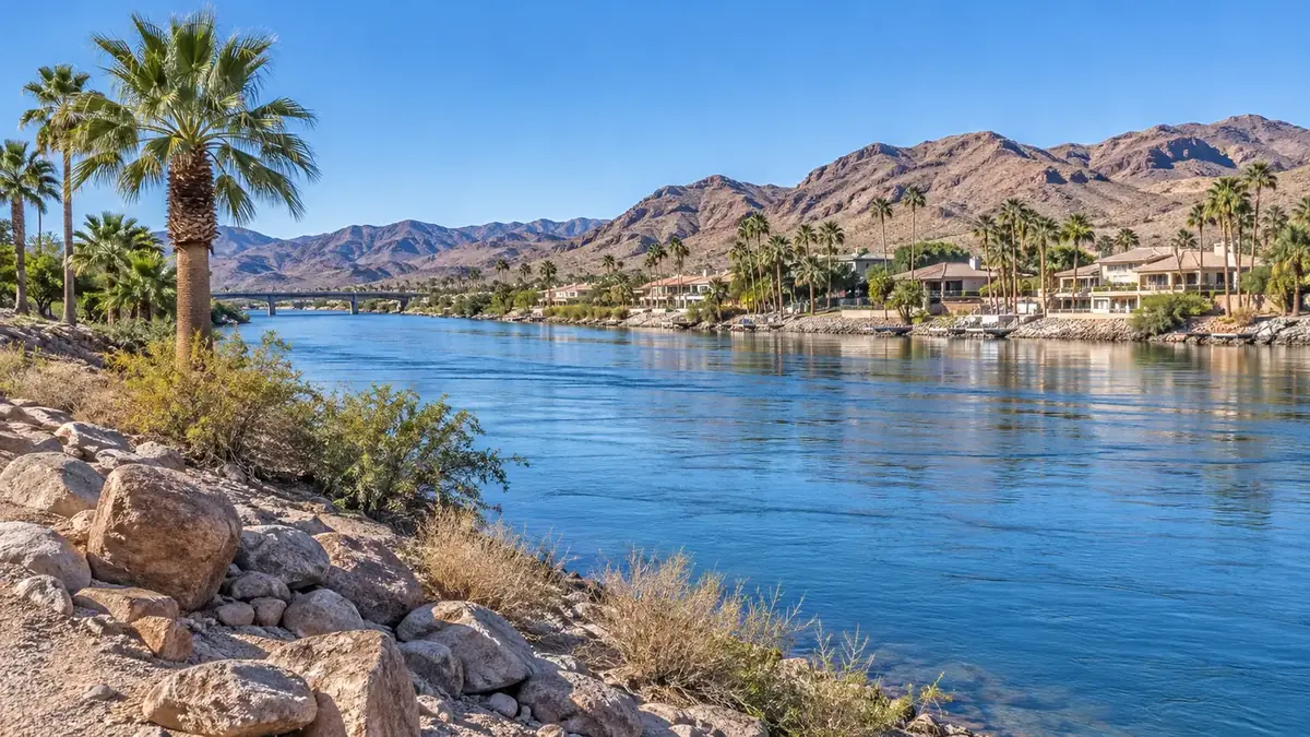
Fort Mohave is an unincorporated community along the Colorado River, south of Bullhead City.
History
Fort Mojave was established as a military post in 1859. It was transferred to the Office of Indian Affairs in 1890, and the site later became part of the Fort Mojave Indian Reservation.
The fort’s buildings were used for a boarding school attended by students from tribes across Arizona, Nevada, and New Mexico. The school closed in 1930, and the site was abandoned again.
Sources: fortmohave.arizonadar.org
Timeline
- 1540
Spanish explorer Melchior Díaz meets the Mohave people, the Pipa Aha Macav, "People by the River." en.wikipedia.org
- 1776
Padre Francisco Garcés crosses the Colorado near the site of old Fort Mohave and heads east, the first European to cross what is now Mohave County. arizonahighways.com
- 1859
Camp Colorado is founded on April 19 and soon renamed Fort Mohave. en.wikipedia.org
- 1861
The Army abandons the fort at the start of the Civil War, and it burns on May 28. en.wikipedia.org
- 1863
California Volunteers regarrison the fort. Many prospect for gold and stay. en.wikipedia.org
- 1863–1864
Soldiers found Mohave City upriver. It becomes the first county seat. en.wikipedia.org
- 1890
The fort becomes an Indian boarding school. en.wikipedia.org
- 1914–1916
The Old Trails Bridge is built at Topock and opens to cars, later carrying Route 66. nps.gov
- 1935
The fort site is transferred to the Fort Mojave Indian Tribe. en.wikipedia.org
- 1938
Mohave City's post office closes for good. en.wikipedia.org
Stories & local lore
93 days of beans
Capt. Carlson recalled keeping 93 marks on the mess hall wall before the steamer Cocopah arrived with supplies to break the soldiers' bean diet. The flour had weevils.
arizonahighways.comA recreation town
Mohave City, "a scraggle of wind-weathered tents" plagued by "noseeums," lived on the soldiers' and miners' pay. Its saloons were the main business.
arizonahighways.comA Route 66 river crossing
The Old Trails Bridge, the longest and lightest arch bridge of its kind when it was built, carried Route 66 across the Colorado at Topock until 1948.
nps.govThings to do
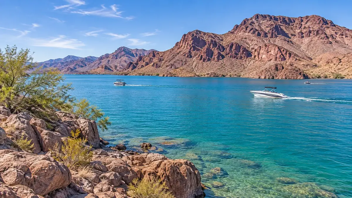
The Colorado River borders the area and is used for activities such as swimming, fishing, kayaking, and boating.
Sources: arizonan.com
Hiking & trails
Katherine Landing trails
The Lake View Trail is a moderate 4.7-mile round trip to South Telephone Cove. Fisherman's Trail runs under a mile to sandy Turkey Cove.
home.nps.govColorado River Nature Center
A 500-acre natural area inside Bullhead City with trails, viewing decks and Rio Lomas Beach. Day use only.
bullheadcityaz.govGrapevine Canyon
A short canyon walk off Christmas Tree Pass Road in Nevada, about six miles west of Davis Dam. The petroglyphs here are thought to span from about 150 to 800 years ago. Please don't touch them.
npshistory.comArizona Peace Trail
A 675-mile OHV loop through western Arizona, with access points near the river communities.
en.wikipedia.orgLakes & rivers
Topock Marsh and Topock Gorge
The 4,000-acre Topock Marsh and about 20 miles of natural river channel through Topock Gorge are part of Havasu National Wildlife Refuge.
fws.govColorado River
Bullhead City lies along the Colorado below Davis Dam, with beaches, boat launches and river parks.
bullheadcityaz.govBig Bend of the Colorado State Recreation Area
A Nevada state park on the river south of Laughlin.
parks.nv.govDay trips
Oatman
Climb the old Route 66 grade into the Black Mountains for burros, the Oatman Hotel and Western shows.
nps.govLaughlin, Nevada
Just across the river. Modern Laughlin began in 1964 when Don Laughlin bought a closed motel and bar.
en.wikipedia.orgOld Trails Bridge at Topock
An 800-foot steel arch built in 1914 that carried cars and later Route 66 across the river from 1916 to 1948. It now carries a pipeline.
nps.govLake Havasu City and the London Bridge
Downriver for the bridge, the Bridgewater Channel and replica lighthouses.
golakehavasu.comParks, recreation & landmarks
Havasu National Wildlife Refuge & Topock Marsh
The refuge runs along the lower Colorado River from Mohave Valley to Lake Havasu City. Topock Marsh offers wildlife viewing, fishing and boat launches, with access off Mohave Valley Highway.
fws.govColorado River
The river is a local setting for water recreation, including swimming, fishing, paddling, and boating.
arizonan.comHistoric Fort Mohave site
The historic site is mostly on Fort Mojave Indian Reservation land. Access requires Tribal permission; contact the Tribal Historic Preservation Office before visiting.
arizonan.comDesert trails and back roads can be remote and very hot. Carry plenty of water, check conditions and road requirements with the land manager before you go, and respect private property and cultural sites.
Upcoming events
Open the full community calendar
Official calendars
- Mohave County Library (all branches)
- Mohave County – Board of Supervisors & Planning and Zoning
- Bullhead Area Chamber of Commerce events
Looking to get involved? See the service clubs and lodges that meet nearby.
Everyday living
Shopping & dining
To be written by Eagle RealtySummarize shopping and everyday services available in and near Fort Mohave.
Healthcare
Valley View Medical Center
Acute care hospital at 5330 S. Highway 95, Fort Mohave. Services include emergency care and surgical, labor and delivery, rehabilitation, wound care, and cardiology services. Phone: 928-788-2273.
bullheadcityaz.govValley View Primary & Walk-In Care
Listed at 5300 Hwy 95, Suite A, Fort Mohave. Phone: 928.788.1911.
mohave.eduPlaces of worship
See our separate places of worship directory for churches and other congregations in Fort Mohave.
Schools & education
Fort Mohave Elementary School
The NCES listing gives the address as 1760 E Joy Ln, Fort Mohave, and identifies Mohave Valley Elementary District as its district. Phone: (928) 768-3986.
nces.ed.govCamp Mohave Elementary School
Listed at 1797 La Entrada, Fort Mojave, in Mohave Valley Elementary School District #16.
mvesd16.orgMohave Valley School District
The district website lists Fort Mojave Elementary among its schools.
mvesd16.orgSchool boundaries and programs change. Confirm the assigned school for a specific address with the school district.
Utilities & local services
Utilities
| Service | Provider | Notes |
|---|---|---|
| Electric | Mohave Electric Cooperative | MEC lists Fort Mohave among the communities it serves. Its office is at 928 Hancock Rd, Bullhead City; phone: 928-763-1100. mohaveelectric.com |
| Electric | Aha Macav Power Service | The Department of Energy report describes AMPS as serving homes and businesses on the Fort Mojave Indian Reservation. energy.gov |
| Natural gas | Southwest Gas Corporation | Fort Mohave appears in the company’s Arizona tariff index of communities. The tariff does not give Fort Mohave-specific service details. swgas.com |
| Sewer/septic | EPCOR Water (USA) Inc.; Mohave County for on-site wastewater permitting | A source reports EPCOR wastewater service to connections in Fort Mohave. Mohave County lists licensed contractors for on-site wastewater construction. globenewswire.com |
| Propane | John Graves Propane | Local propane delivery, tank rentals and service from its Golden Valley office at 7090 Hwy 68. Phone 928‑565‑2821. Lists Fort Mohave in its Mohave County delivery area. johngravespropane.com |
| Propane | A&B Propane | Bulk tank and cylinder delivery from its Lake Havasu City office at 2001 Centers Ave. Phone 928‑854‑4099. Lists Fort Mohave on its delivery schedule. abpropaneaz.com |
| Propane | Ferrellgas | Refills and delivery from its Kingman office at 2813 Beverly Ave. Phone 928‑757‑1101. Lists Fort Mohave among the communities this office serves. ferrellgas.com |
| Internet – fiber | Fort Mojave Telecommunications (FMTI) | Fixed wireless is available in Fort Mohave; FMTI is also building fiber in the area. Contact FMTI to check an address. ftmojave.com |
| Internet – fiber | TWN Communications | Reported as a fiber provider in Fort Mohave. Phone 877‑877‑6861. broadbandnow.com |
| Internet – fiber | Frontier | Frontier lists internet service in Fort Mohave, with Frontier Fiber only in select areas. Check the exact address. frontier.com |
| Internet – cable | Optimum | Optimum advertises fiber-powered internet up to 1 Gig in Fort Mohave. Nearest store in Bullhead City. optimum.com |
| Internet – wireless | AT&T Internet Air | AT&T says it provides 5G wireless home internet in Fort Mohave. Coverage and speeds vary by address. att.com |
| Internet – satellite | Starlink; Viasat; Hughesnet | Satellite internet is listed as available across Fort Mohave, a common choice for rural parcels without wired service. broadbandnow.com |
| Check any address | FCC National Broadband Map | Enter a property address to see every provider and speed reported for that location. broadbandmap.fcc.gov |
Utility providers can vary by address, and many rural parcels rely on private wells, hauled water, septic systems or propane. Always confirm service with the provider for the specific property.
Government & public safety
| Office | Details | Phone |
|---|---|---|
| Fort Mojave Mesa Fire District | Station 91 is at 2230 Joy Lane, Fort Mohave. The district lists phone 928-768-9181. fmmfd.org | 928-768-9181 |
| Mohave County Sheriff’s Office — Mohave Valley substation | The county lists the substation at 9880 Vanderslice Rd, Mohave Valley. mohave.gov | 928-768-7055 |
| Mohave County Animal Control — Mohave Valley | The county lists an animal control contact for Mohave Valley. mohave.gov | 928-768-3125 |
| South Mohave Valley Community Library | Mohave County Library branch at 5902 AZ-95 #102, Fort Mohave. mohavecountylibrary.us | 928-768-1151 |
| Bullhead City Senior Center | The county directory lists this nearby senior center at 2275 Trane Rd, Bullhead City. mohave.gov | 928-758-0718 |
For emergencies, call 911.
Real estate
For current listings, recent sales and pricing in Fort Mohave, search the MLS below or ask an Eagle Realty agent who works the area.
Search homes for sale near Fort MohaveNew homes built 2026Land & acreage
Helpful links
- Mohave County
- Mohave County Library — locations and hours
- Mohave Valley School District
- Fort Mojave Mesa Fire District
- Mohave Electric Cooperative
- Arizona Department of Education
- AZ 511 — Arizona road conditions
Community information on this page was compiled from the public sources linked in each section (reviewed November 2026). Details change; please confirm with the source.